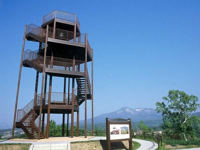
Scenic points

景勝地

斜里岳

Mt. Shari

Mt. Shari, one of the 100 Top Mountains in Japan, is the symbol of Kiyosato-Cho. The emblem of the town is designed based on Mt. Shari.
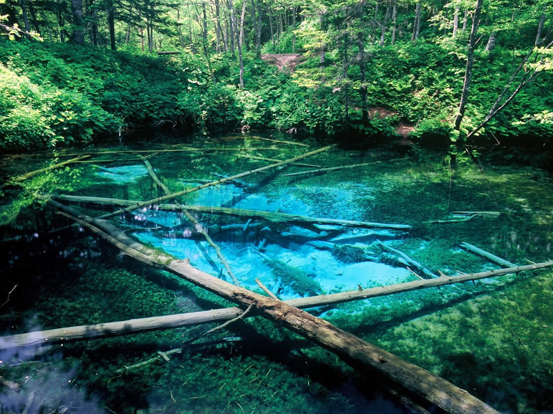
神の子池

Kaminokoike Pond

Kaminokoike (child of the gods) Pond got its name from stories that it is fed by underground waters from Lake Mashuko, which is known as Kamuito (Lake of the Gods) by the Ainu people.
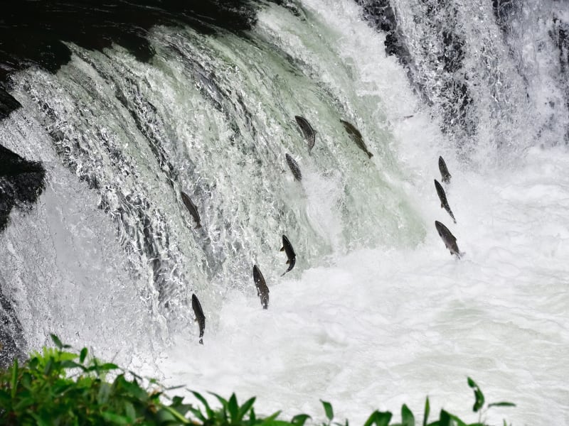
さくらの滝

Sakuranotaki Falls

You can watch cherry salmon struggle to swim upstream in July and August.

裏摩周展望台

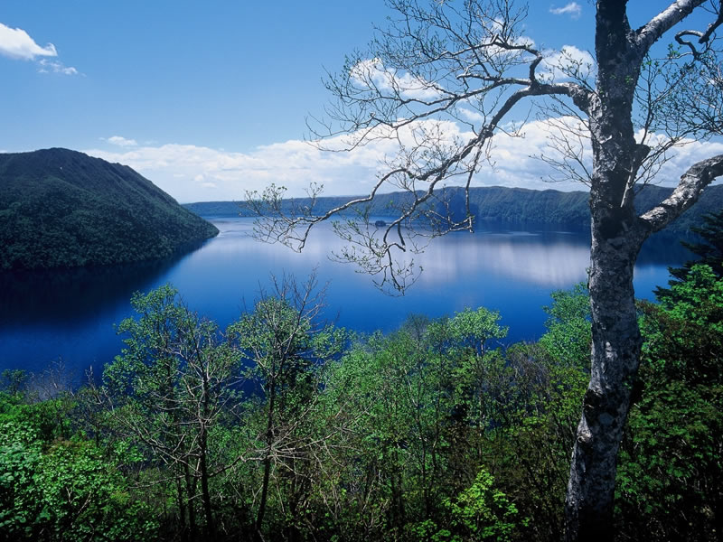
Uramashu Observatory

This spot is not usually so crowded. Take your time and enjoy the view of Lake Mashuko.
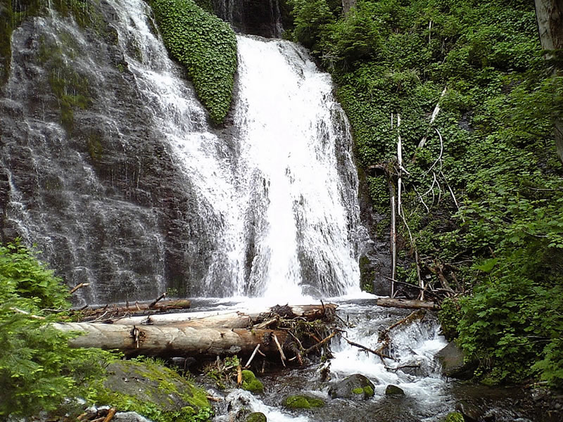
男鹿の滝

Ojikanotaki Falls

It is a waterfall of 25m in height in Gonosawa, which is deep in the forest from Shari River Forest Road.

Kiyosato-Cho is often said to have a great rural landscape.
I think that is because the farmers are taking very good care of their fields.
From Journals of the Executive Director

宇宙展望台

Uchu (Space) Observatory

It was named because you can watch the starry sky spread over your head at night, and because you can feel the universe very close to you.

ストレートロード

Straight Road

It is a 14km straight road leading to the Sea of Okhotsk.

NPO Corporation Kiyosato Tourist Association
Association for Promotion of Kiyosato Regional Development


62 Hagoromo-Machi Kiyosato-Cho Shari, 099-4405 Hokkaido Map

TEL : 0152 - 25 - 4111
FAX : 0152 - 26 - 7508