-
 1
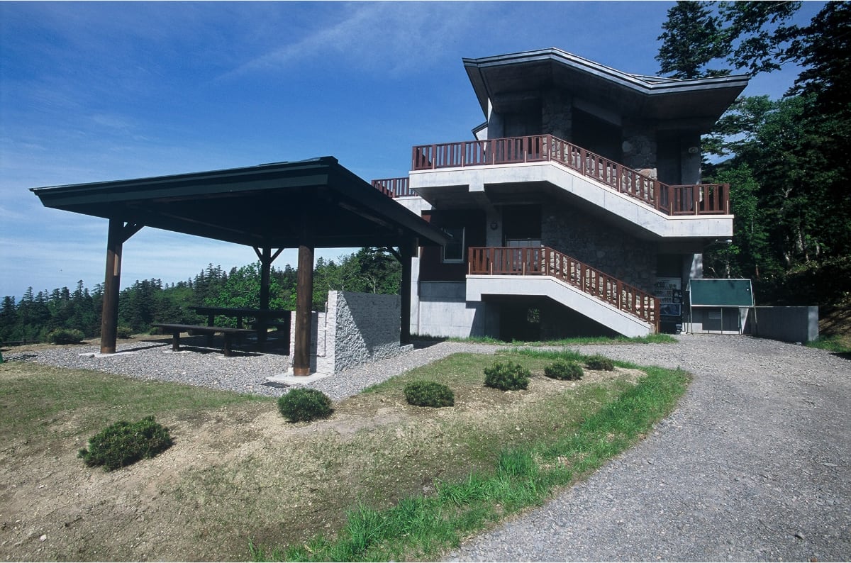
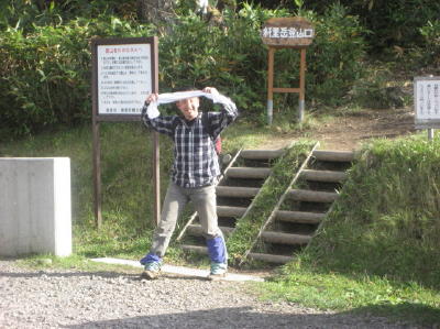
1Walk 15 minutes on the forest road from Seigakuso.
-
 2
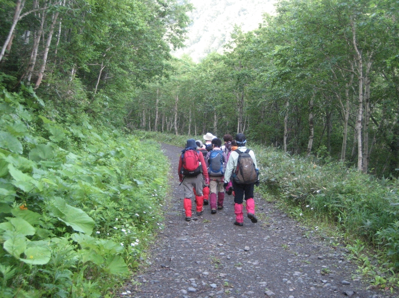
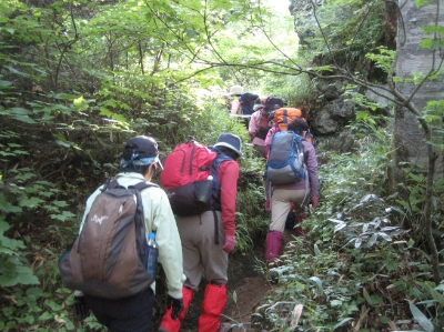
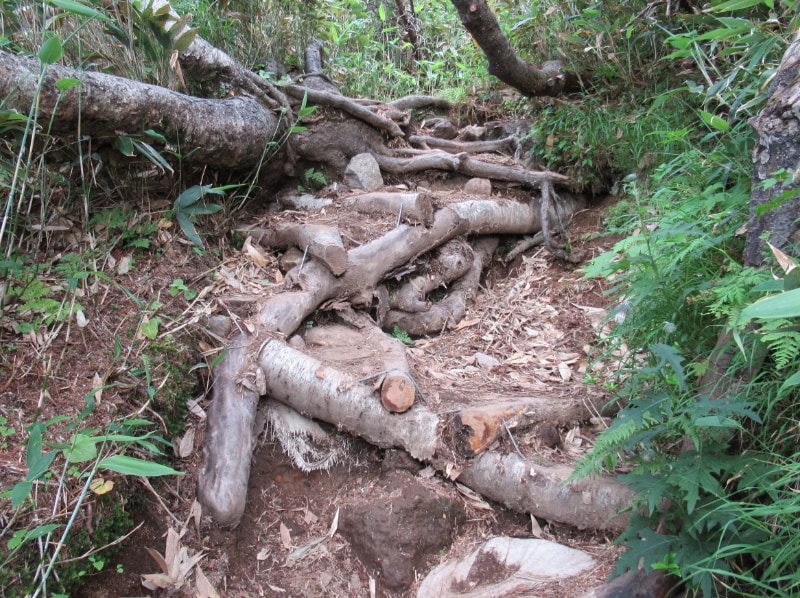
2At first, it is an ordinary mountain trail. The road like this goes on about one-third of the trail.
-
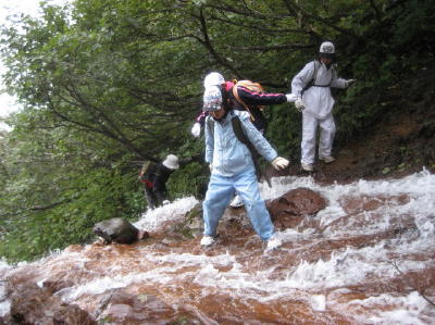
 3
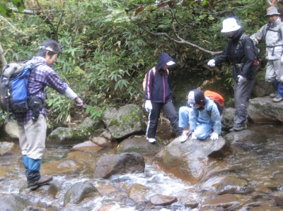
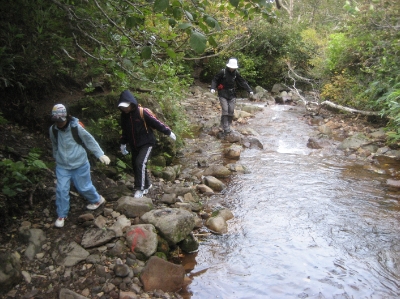
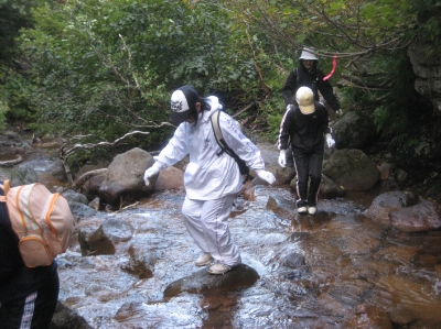
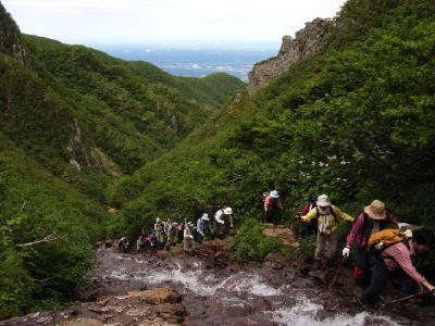
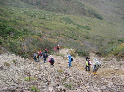
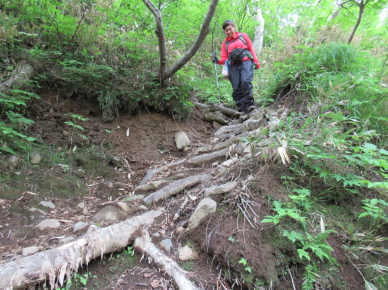
3It is the first wading. There are many wading points to Kamifutamata.
-
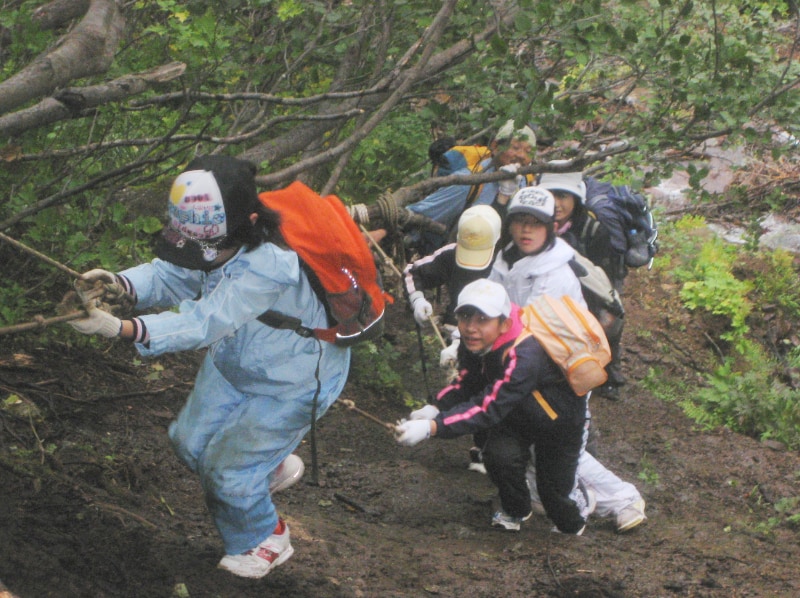
 4
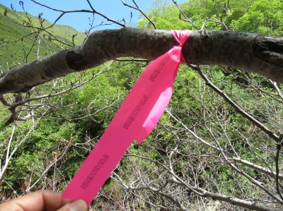
4At the approximate crossing points, you’ll find pink tape marked by the Kiyosato Tourism Association. However, please note that the actual crossing points may shift due to changes in water levels or landslides. Be sure to assess the conditions carefully and choose your own safe crossing point.
-
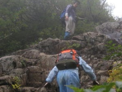
 5
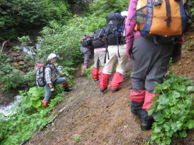
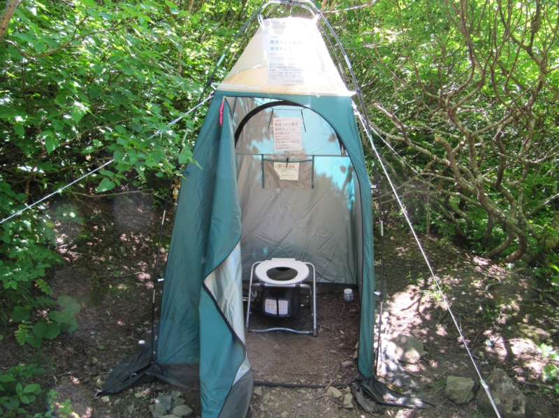
5The water level is about this high in July, when there is plenty of water. There is usually no sudden increase in water, but it's better to wear mountain spats. Do not climb after the heavy rain or when the water is muddy, although which are very unlikely during the season.
-
 6
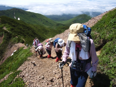
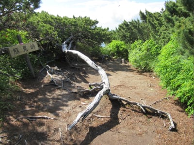
6It is a bit uphill until Kamifutamata, wading and walking along the stream (but the slope gets steeper and steeper!)
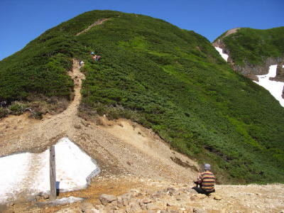
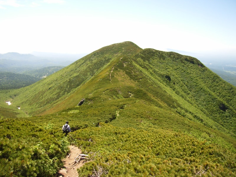
-
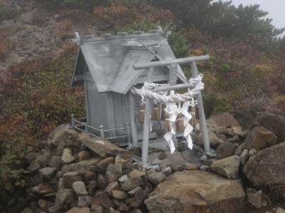
 7
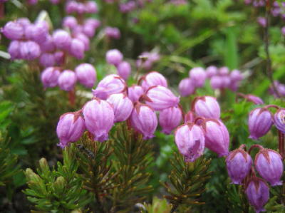
7You can walk on the stones and rocks to avoid stepping into the water. But, don't hurt yourself by falling after hopping from a stone to another.
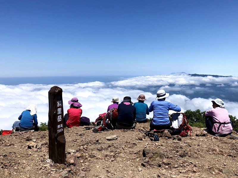
-
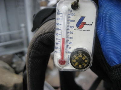
 8
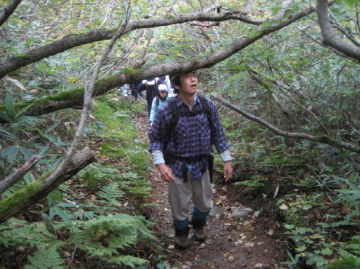
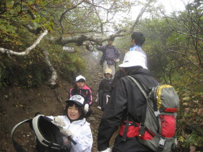
8Caution! There are many trees at the height of your head. Be sure to look up and down when you walk. To see the upper front, you'd better wear a cap backward.
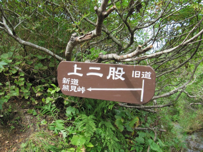
-
 9
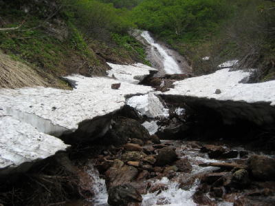
9There are dangerous snow bridges here and there till early July in the snowy year. Pay special attention and withdraw with courage if necessary. You don't have to use crampons in July when there is no snowy gorge.
-
 10
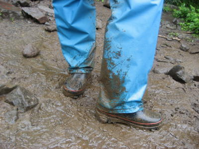
10For a short distance, you may traverse the slope along the stream. Look very carefully at the slope to find a footing and don't get cold feet.
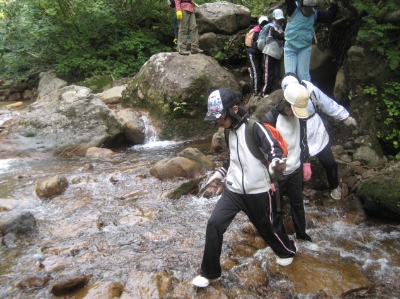
-
 11
11There are steep slopes equipped with ropes, but don't put the whole weight on them in case they come off or are cut.
-
 12
12Waterfalls of gentle slopes continue, but it is not quite slippery to walk in the stream because the iron in the water prevents moss from attaching to the rocks. Walking on the rocks in the water is probably less slippery than those that got water splashed.
-
 13
13A monolith of Miharashinotaki waterfalls. It is slippery when it gets wet. Attention!
-
 14
14Please carry disposable toilets. A temporary tent booth to use them in is placed at Kamifutamata (late June to late September).
-
 15
15Climb refreshing Reikanotaki waterfalls. It is usually not so crowded.
-
 16
16After you pass Kamifutamata, there is no more stream. Munatsukihaccho is very hard to climb.
-
 17
17Umanose is slightly rocky. It's a very windy place. Be careful with gusty wind.
-
 18
18You can see the summit (on the right) from Umanose. Now you are in a creeping pine zone, so you don't have to watch your head anymore. Though it looks far, the summit is just 20 minutes ahead of you.
-
 19
19A shogunate shrine is a little below the summit. Some people carried such a heavy thing up to this place a long time ago. In Japan, we make an offering at a shrine.
-
 20
20There are more alpine plants above Umanose.
-
 21
21You can have a fantastic view from the summit; Kunashiri Island, Mt. Rausu, the mountains of Akan, Mt. Daisetsu in the distance, and the Sea of Okhotsk just below.
-
 22
22It can be about 5° C even in summer. When it is hot, it can be about 25° C. Temperature changes depending on the weather.
-
 23
23For the descent, go down Umanose. Be careful not to fall when you go down the rocky slope. Gloves and trekking poles are recommended. Don't forget to put rubber tips on your poles.
-
 24
24You can occasionally find a sign like this on your way. You will not probably lose your way if there is no snow left. Do not enter the ascent route (Old Trail Course) at Kamifutamata. It is scary to go down the ascent route, which has many streams.
-
 25
25It is refreshing to walk on the ridge. It is the descent, but there are 3 uphills, each takes about 5 to 10 minutes. Some people get exhausted here. You can not drastically shorten the time required for climbing because the descent route is long. Take your time and enjoy the trip down.
-
 26
26When you reach Kumami Pass, there is no more ascent, but the descent is quite long.
-
 27
27The steps used to be very large between Kumami Pass and Shimofutamata, but the mountain trail repair has proceeded, and it has become easier to go down.
-
 28
28You will hear the sound of the waterfall, but Shimofutamata is a bit far. Be careful not to fall as you are tired!
-
 29
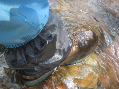
29After the snow melting or the rain, your shoes will look like this when you get to Shimofutamata. Very muddy…
-
 30
30Take the same route as the ascent from Shimofutamata. Your pants and shoes will be clean again when you wade. Some people may have their shoes soaked out. Pack the newspaper in your shoes to dry them when you get back to the hotel.
-
 31
31The goal at Seigakuso, the trailhead. 90% of people will say, "It was terrific!" after enjoying quite "different" climbing of Mt. Shari and enjoying its grand landscape. The rest might say, "It was scary…"
Climb Mt. Shari
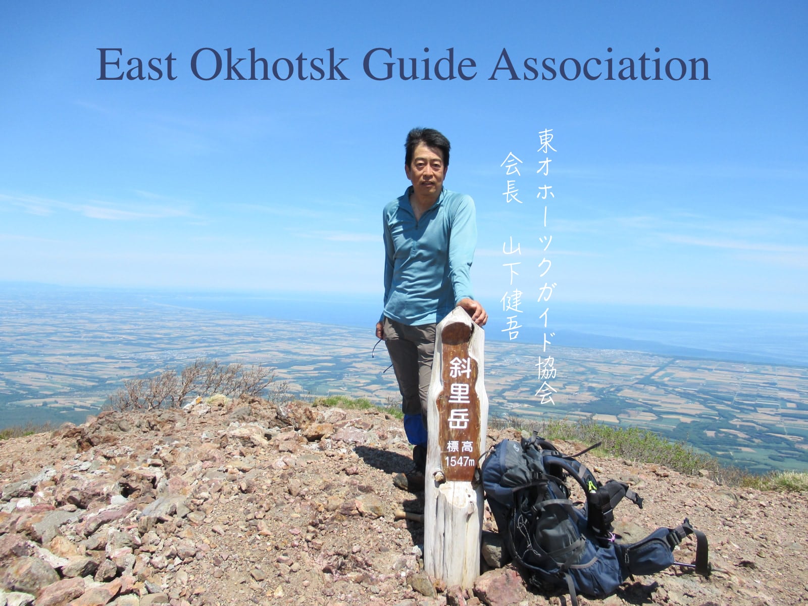
Created by Mr. Kengo Yamashita in 2020
Mt. Shari climbing is quite interesting. It will give you the senses of excitement, refreshment,
and accomplishment. Here are some points to note. Make sure to prepare well and take a map with
you.
The main characteristic of Mt. Shari climbing is that it is mainly for stream trekking
with mountain climbing shoes and spats.Unlike the well-maintained other 100 Top Mountains in
Mainland Honshu, Mt. Shari is more wild and challenging.Remember that it takes longer than the
estimated time written in general guidebooks. It takes time to find the routes to cross the
river and wait for the predecessors to cross it. Also, the new trail course for the descent is
longer than the old trail course for the ascent.The estimated round trip time is about 6 hours
for a small party of middle-aged experienced climbers. In the case of a party of 10 people, it
takes about 9 hours on average.
4 points

Climbing Route
In general, climbers ascend via the stream route (old trail) and descend via the ridge route (new trail). The old trail follows the stream and offers a fun ascent with a series of beautiful waterfalls along the way. However, descending via the old trail is extremely dangerous due to a high risk of slipping and falling. We strongly recommend using the new trail (ridge route) from the Upper Fork for descent. Due to the danger of rockfalls and slips on the old trail, a round-trip on the new trail is highly recommended.

Climbing Season
One of the best periods for climbing is from late June (when the mountain opens with some snow left) till late September (when you can enjoy beautiful autumn leaves.) There is still some snowy gorge left around the opening time. Be careful with snow bridges; water flows under the snow and you might step through the snow that remained like an arch. Keep in mind that there are frozen areas along the river on the old trail around October.

Mind your Feet and Legs
Mt. Shari is not a mountain suitable for trail running, but for mountain climbing. We recommend wearing waterproof high-cut mountain climbing shoes and mountain climbing spats.

Radio wave situation
It depends on the telephone carriers or the models, but there are many places where phones cannot connect.
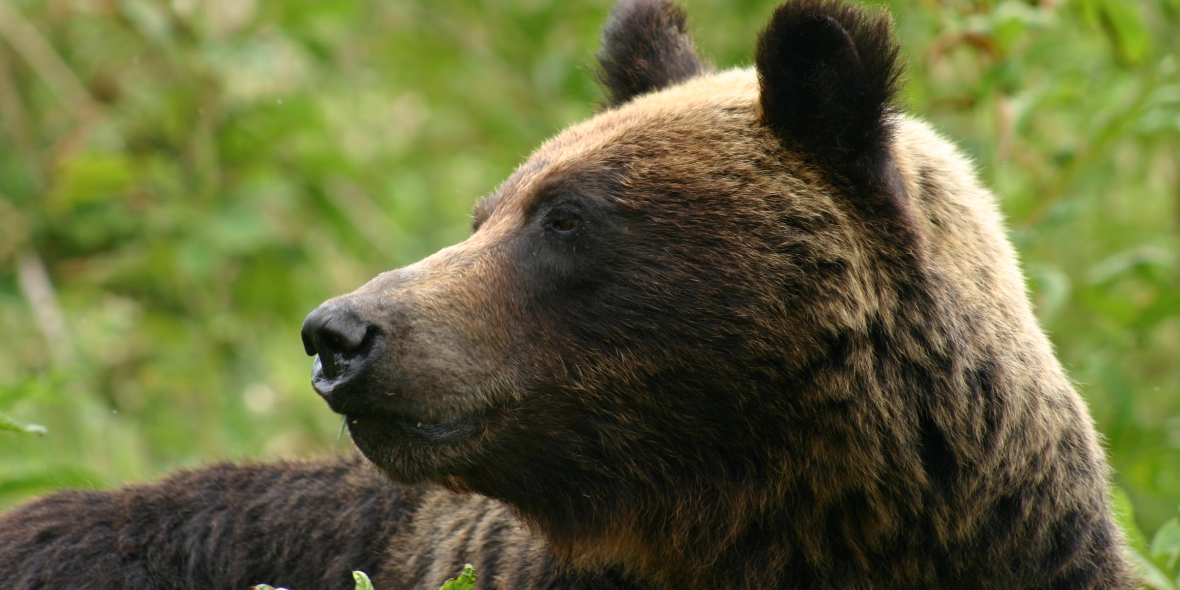
 Brown bear measures